The challenge
Arcadis was commissioned to carry out a LiDAR Drone survey of Belleau Woods American battle monument site.
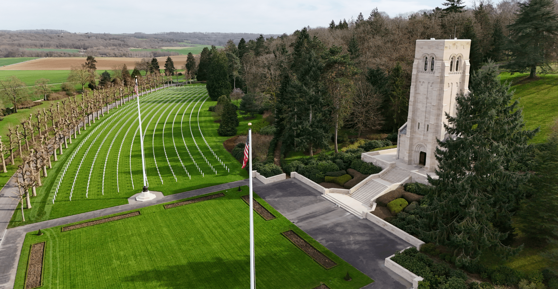
Arcadis was commissioned to carry out a LiDAR Drone survey of Belleau Woods American battle monument site.
Our solution brought insights into the battleground of Belleau Woods, shedding light on the intricate history of American, French, and German troops.
The project's impact reaches far beyond data collection; it unveils hidden historical features, & offers accessibility to previously restricted areas.
comprehensive survey
Arcadis was commissioned to carry out a LiDAR Drone survey of Belleau Woods American battle monument site. The survey was designed to enable the Gray and Pape Inc. team to evaluate the site to determine how the battles involving American, French, and German troops unfolded at the location during the first and second World Wars.
Our solution brought insights into the battleground of Belleau Woods, shedding light on the intricate history of American, French, and German troops during the World Wars. Overcoming terrain challenges and potential hazards, our team utilised cutting-edge LiDAR technology on drone platforms for a comprehensive survey spanning 2.6km². This project epitomised innovative data collection to honour the heritage of the site.
The project's impact reaches far beyond data collection; it unveils hidden historical features, offers accessibility to previously restricted areas, and significantly enhances safety protocols for investigating sensitive terrains. By blending technology with respect for the site's sanctity, we delivered a project that not only strengthens historical records but also safeguards the memory of those who shaped the course of history in Belleau Woods.
The LiDAR Drone survey of Belleau Woods amplified historical records and provided crucial insights into the site's significance. This project not only enriched the understanding of past conflicts but also exemplified a non-invasive approach that respects the site's sanctity while ensuring safety and precision in data collection.