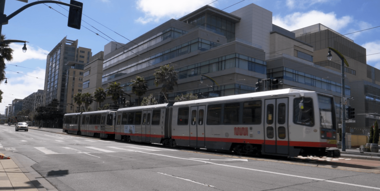
As more and more people flock to densely populated areas like San Francisco, finding safe and efficient ways to get to where they’re going is essential. Innovative public transportation solutions not only make it easier for people to move through large cities, but can also result in a faster commute, a safer walk to work, and a positive impact on the environment. And in the face of climate change, incentivizing people to use the bus, train, or light rail is more important than ever.
Arcadis partnered with the San Francisco Municipal Transportation Agency (SFMTA), TNL Group and Quanergy on a cutting-edge pilot project. Over the course of one month, the pilot showed how sensors and software solutions positioned across a bustling neighborhood can improve public safety, reduce traffic delays, idling times and greenhouse gas emissions.
In Mission Bay, a real-time virtual representation of traffic, or digital twin, captured traffic data using LiDAR technology. Traffic flow was analyzed every few seconds enabling SFMTA to adjust 11 intersections. The changes resulted in a 20% or more increase in transit speeds; 72% reduction in light rail vehicle red light delays; 17% faster trip times on light rail vehicles; and a 26% reduction in CO2 emissions due to reduced wait times at traffic lights.
The future of transportation is exciting, and the pilot project proves that we can control and optimize traffic flows along a busy corridor in San Francisco and repeat it at scale. By providing actionable insights for any intersection in the world, we can make public transportation more attractive to riders, our streets safer for people on foot, and our communities cleaner for future generations.
To learn more, watch the video. For a deeper dive on this project, click here.

MINUTES
You have not accepted cookies yet

